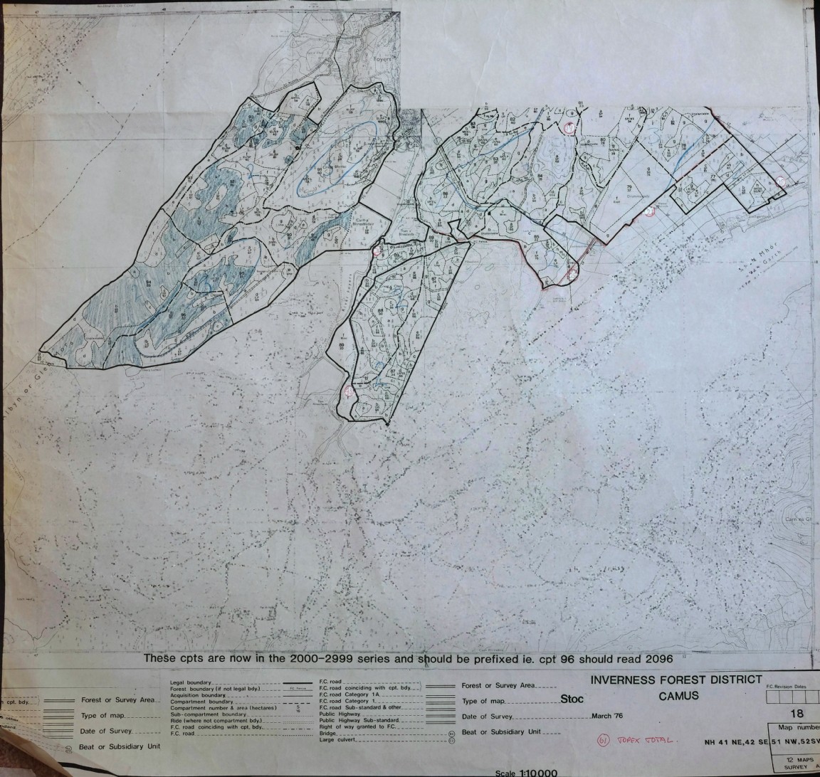
 Pic 4487: Farigaig Forest – Camas area - Windthrow Hazard Map
 Pic 4488: Corrimony Forest Soil Map – Fort Augustus Forest District
 Pic 4489: Civil Engineering drawing – Eynort Access Road
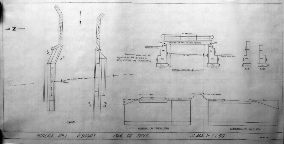 Pic 4490: Drawing of Bridge No 1 Eynort Road
 Pic 4491: Drawing of approach works to Bridge No 1 Eynort Road
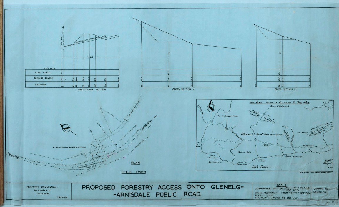 Pic 4492: Civil Engineering drawing Eilanreach Forest access – Loch Hourn Section
 Pic 4493: Eilanreach Forest – Torr an Tuirc Road drawing – Loch Hourn Section
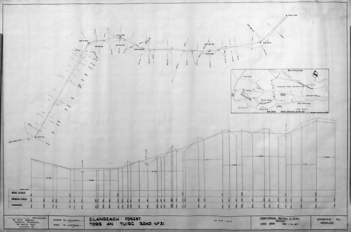 Pic 4494: Eilanreach Forest – Torr an Tuirc Road drawing – Loch Hourn Section
 Pic 4495: Eilanreach Forest – Torr an Tuirc burn crossing – Loch Hourn Section
 Pic 4496: Inverinate Forest – Stable Road improvement
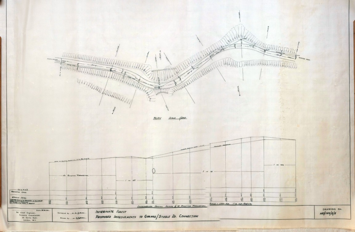 Pic 4497: Inverinate Forest – Stable Road improvement
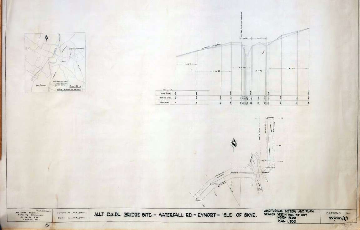 Pic 4498: Glen Brittle Forest – Waterfall Road Allt Daidh Bridge
 Pic 4499: Glen Brittle Forest – Glen Kraknish Middle Road
 Pic 4500: Inverinate Forest (Dorusduan)Upper Choinneachain Road
 Pic 4501: Inverinate Forest (Dorusduan)Upper Choinneachain Road
 Pic 4502: Inverinate Forest (Dorusduan)Upper Glomach Spur Road
 Pic 4503: Inverinate Forest – Burn crossing to joins Stable and Garage Roads
 Pic 4504: Ex military map cases
 Pic 4505: Flag at Glenmore Visitor Centre
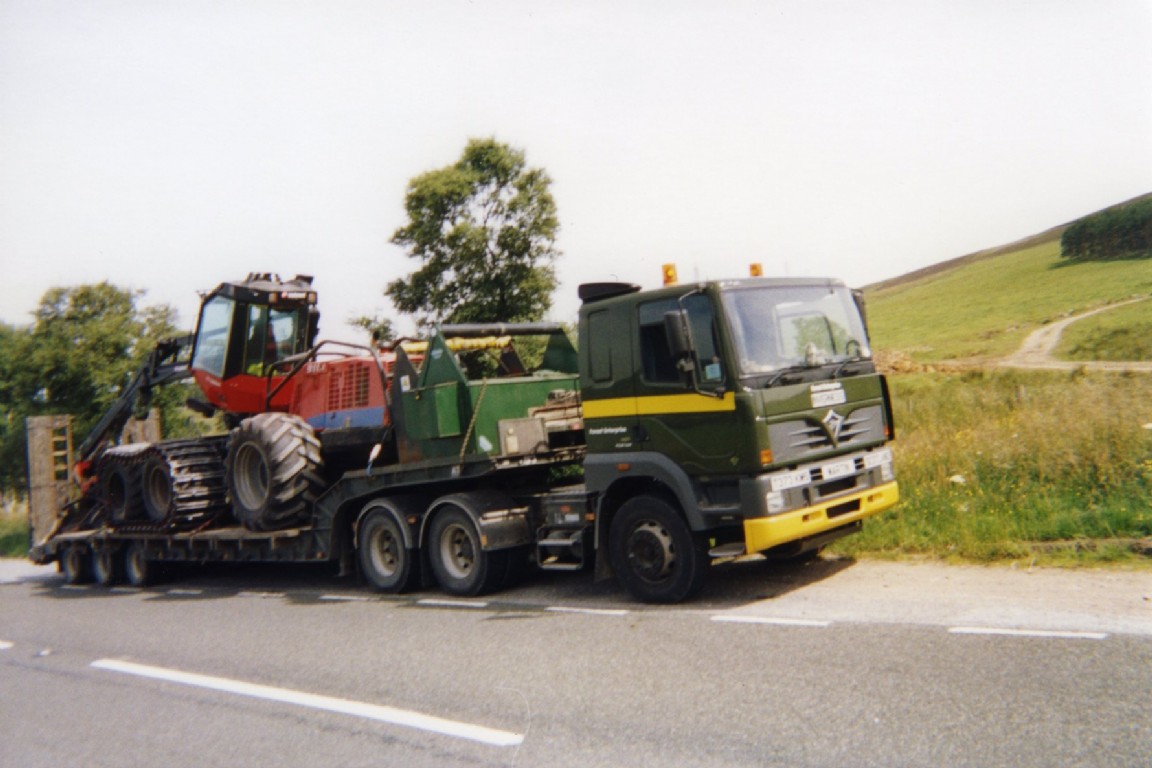 Pic 4506: George Watt’s Harvester at Grantown
 Pic 4507: Canadian Forestry Corps sawmill at Mar Lodge
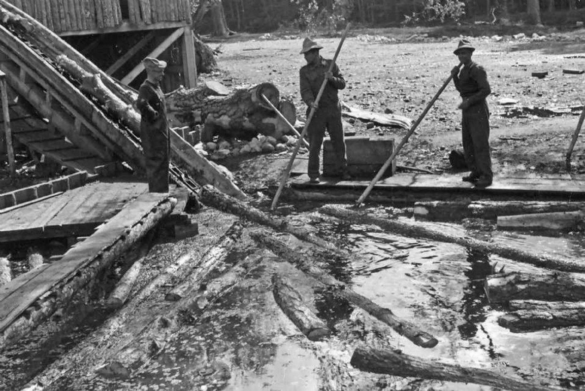 Pic 4508: Working in the logging pond Mar lodge
 Pic 4509: Log chain carrying logs from pond to saw at Mar Lodge sawmill
 Pic 4510: Canadian Forestry Corps Company No 25 sawmill at Mar Lodge