 Pic 4463: Felling Competition at Dalbeattie Forest.
 Pic 4464: First image in 100 Years of Forestry collection
 Pic 4465: Balmacara and South Strome Forest areas
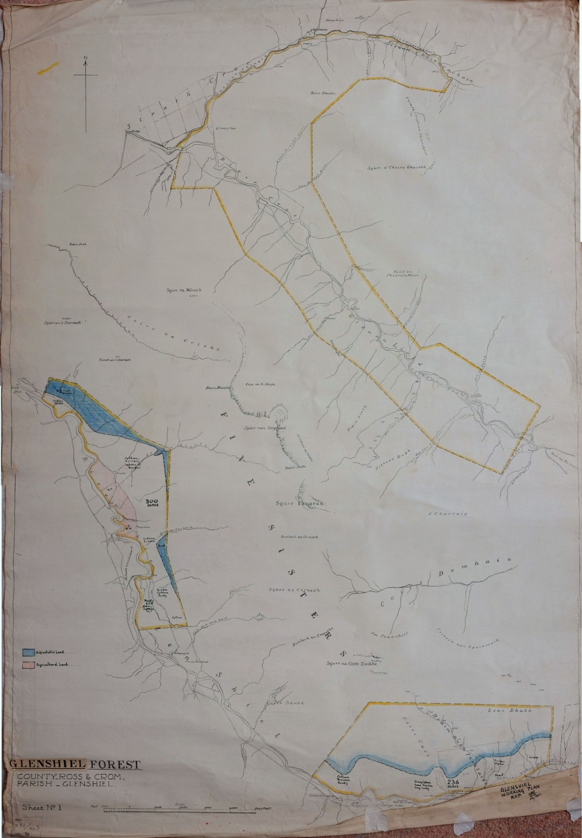 Pic 4466: Glenshiel Forest pre - acquisition survey map No 1
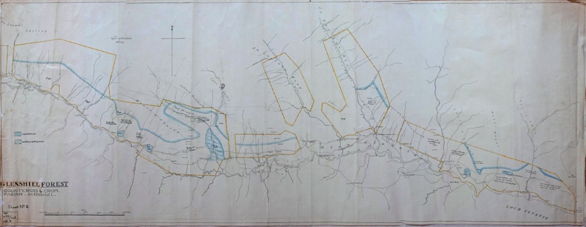 Pic 4467: Glenshiel Forest pre - acquisition survey map No 2
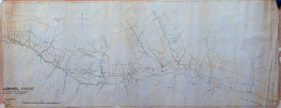 Pic 4468: Glenshiel Forest planting and disposal map No 2
 Pic 4469: Glenshiel Forest planting and disposal map No 2
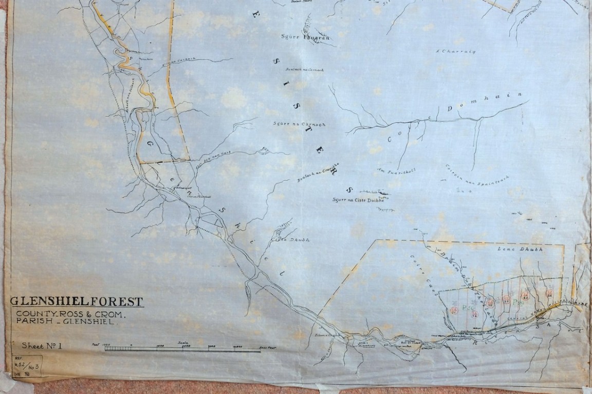 Pic 4470: Glenshiel Forest planting and disposal map No 1
 Pic 4471: Forestry Commission Forest District and Conservancy Boundaries 1985
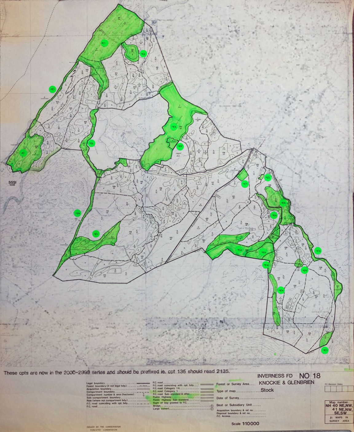 Pic 4472: Knockie and Glenbrien Forest Maps – East side of Loch Ness
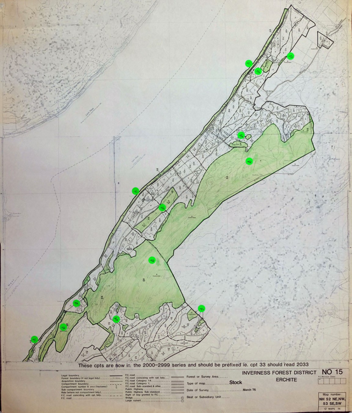 Pic 4473: Farigaig Forest – North section of Forest (Erchite)
 Pic 4474: Farigaig Forest – Mid main section
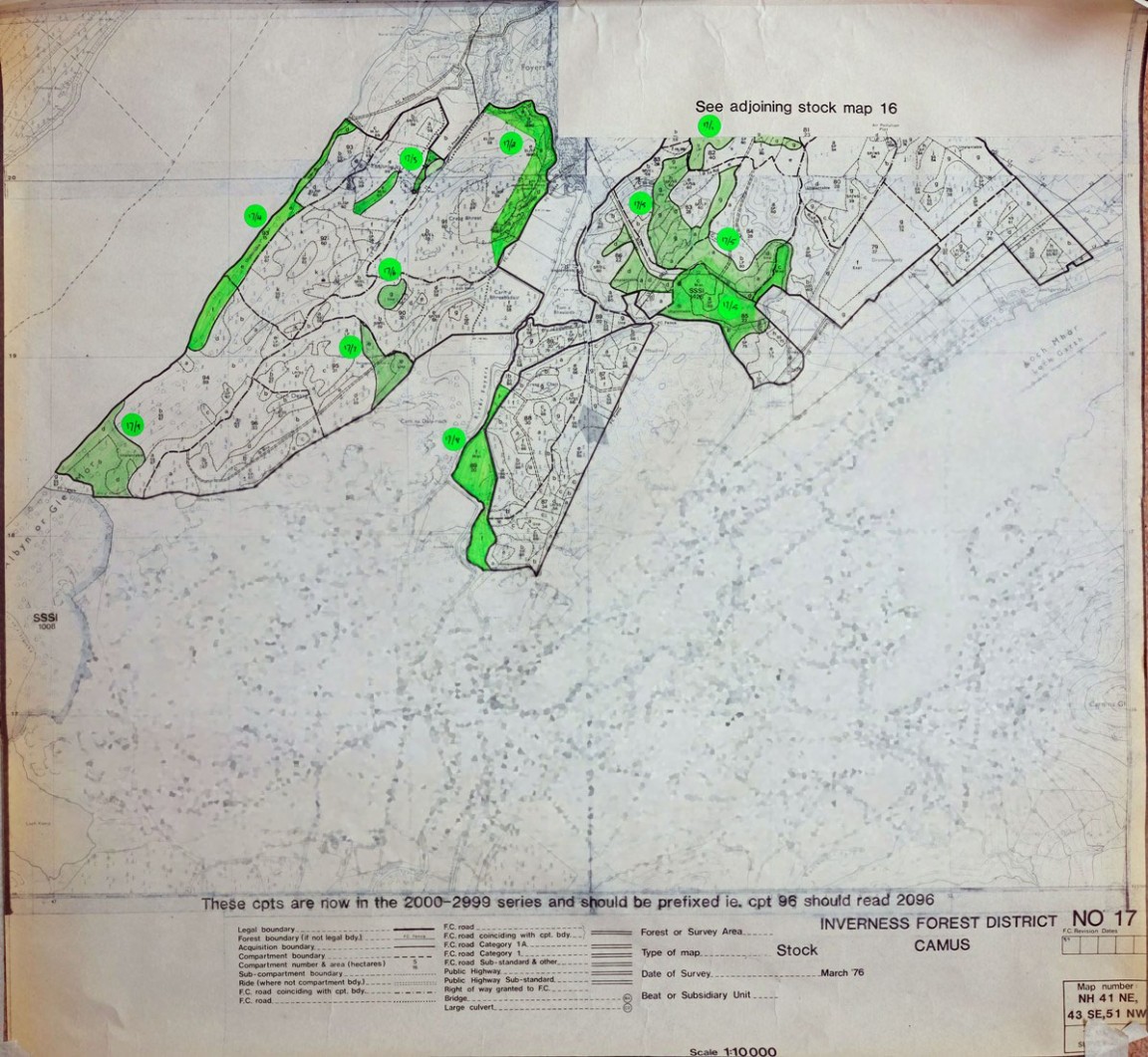 Pic 4475: Farigaig Forest south main section (Camas Forest)
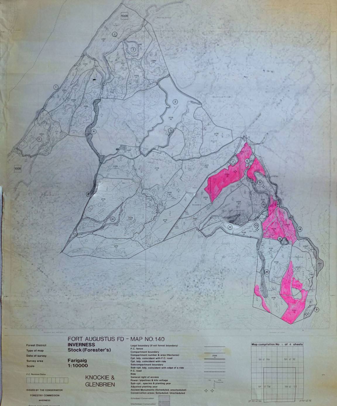 Pic 4476: Knockie and Glenbrien Forest Maps – East side of Loch Ness
 Pic 4477: Guisachan Forest Wind Hazard Map
 Pic 4478: Balnacarn Forest - Location possibly Glen Moriston area
 Pic 4479: Inchnacardoch Forest – South Dundreggan area
 Pic 4480: SmalleyTimbermite timber harvester on trial
 Pic 4481: Buchan Forest District Harvesting Team
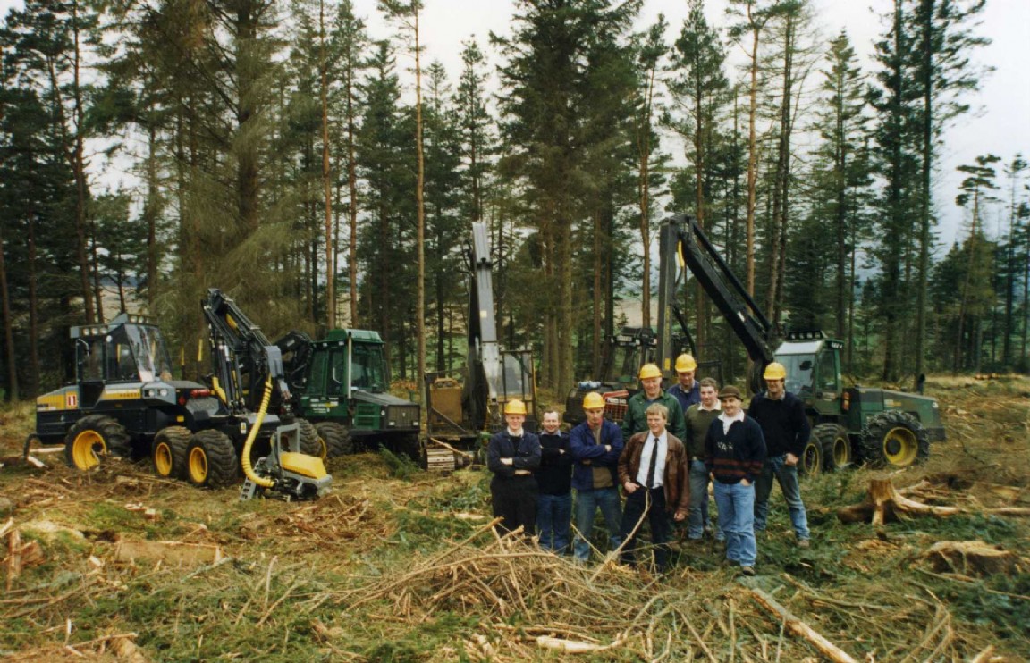 Pic 4482: Buchan Forest District Harvesting Team
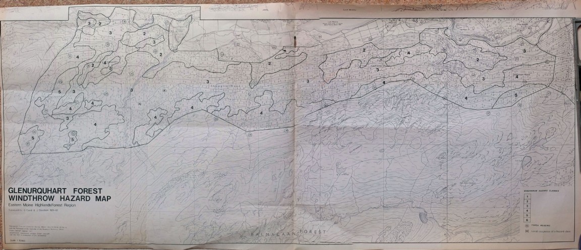 Pic 4483: Glenurquhart Forest - Windthrow Hazard Map
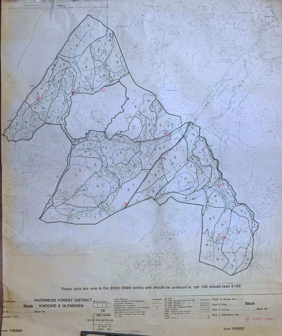 Pic 4484: Knockie and Glenbrien Forest – Windthrow Hazard Map
 Pic 4485: Farigaig Forest – Erchite – Wind Hazard Map
 Pic 4486: Farigaig Forest – Central area – Wind Hazard Map