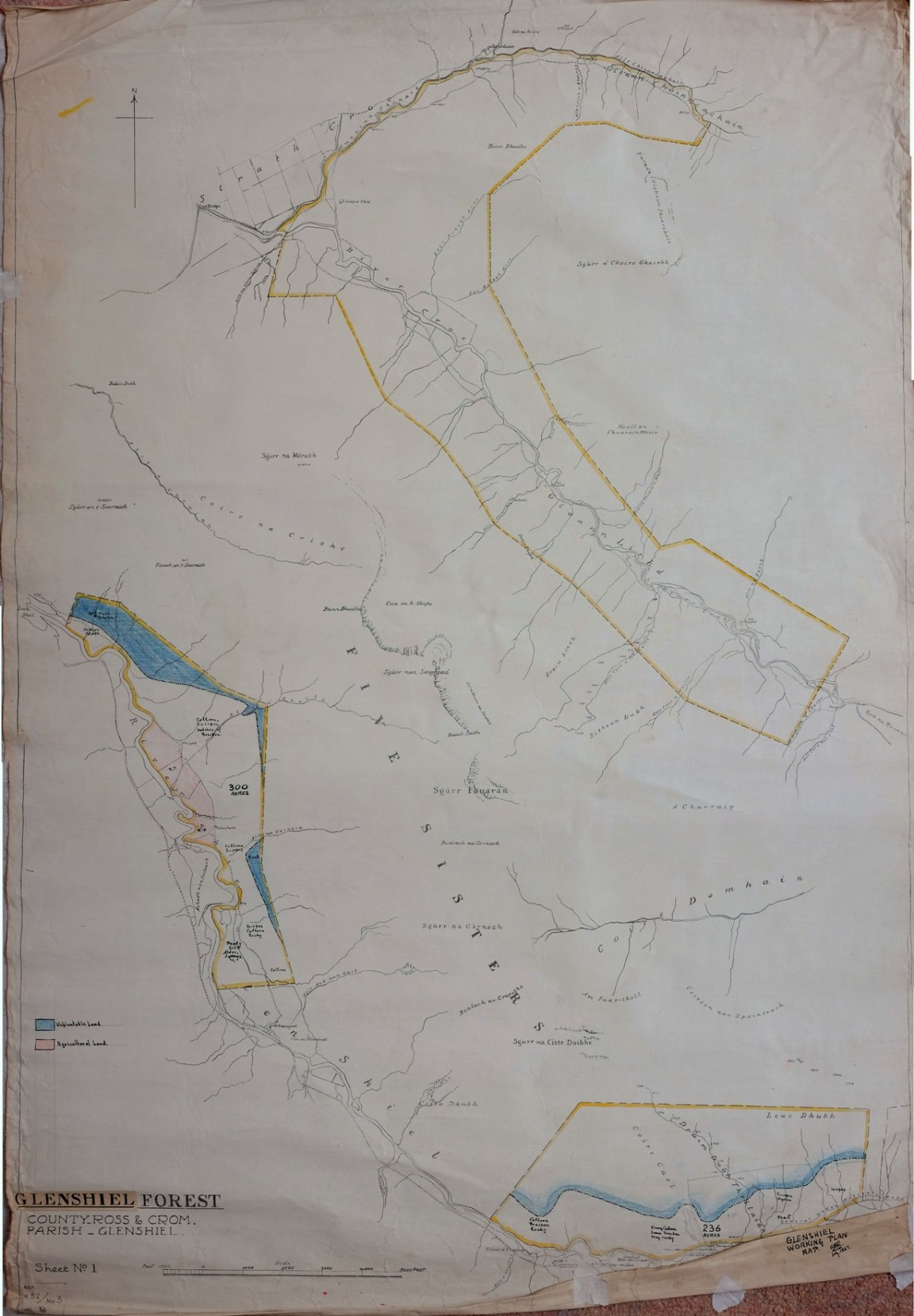
Glenshiel Forest pre - acquisition survey map No 1
One of a series of hand drawn maps and drawings found in old ex military map cases stored in the loft of the Fort August Forest office and recovered by Grant Macintosh. This is one of a series of maps that tells a small part of the story of one forest – the story of land being offered for planting, some parts assessed as being suitable, land purchased and parts planted up and then surplus unplanted land sold off.
One of two maps drawn by someone with initials GBR on blue linen paper in 1927 showing the potential planatable land in a series of separate blocks spaced out below the Five Sisters of Kintail along Glen Shiel and the old Military Road. The notes on the vegetation and soil, rock and peat are very brief and there are hints of a possible fence line which seems to be about the position of the present forest area nearest to Loch Duich. The area north of the Five Sisters in Gleann Lirhd alongside the River Croe appears not to be considered at all.