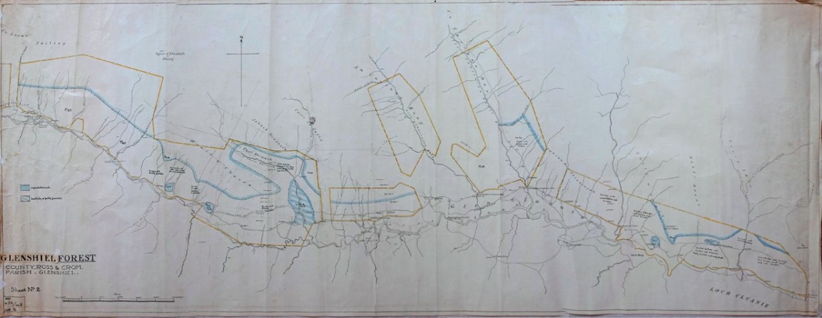
Glenshiel Forest pre - acquisition survey map No 2
One of a series of hand drawn maps and drawings found in old ex military map cases stored in the loft of the Fort August Forest office and recovered by Grant Macintosh. This is one of a series of maps that tells a small part of the story of one forest – the story of land being offered for planting, some parts assessed as being suitable, land purchased and parts planted up and then surplus unplanted land sold off.
Second of two maps drawn by someone with initials GBR on blue linen paper in 1927 showing the potential planatable land in a series of separate blocks spaced out below the Five Sisters of Kintail along Glen Shiel and the old Military Road. The notes on the vegetation and soil, rock and peat are very brief and there is a very definite line showing the boundary between the plantable land and that not worth trying to grow a tree crop. Some blocks appear to have been ignored or not worth considering further.
In this map there are a series of pencil lines with compass bearings and other figures on the line could represent the lengths in chains and links such as 18 (chains) + 60 (links).
Any other details from people who worked in this forest or know the area well world be very welcome.
Download Large Version (3.3MB)
Groups: Maps of Forest and Woodland Areas