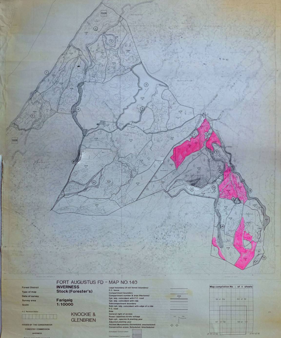
Knockie and Glenbrien Forest Maps – East side of Loch Ness
One of a series of maps and drawings found in old ex military map cases stored in the loft of the Fort August Forest office and recovered by Grant Macintosh.
This map is one of at least 18 forest maps covering the then Inverness Forest District about 1985. The actual detail of the forest was surveyed about 1976 but compartment numbering has been updated from that of the original separate forest unit (Farigaig Forest prior to 1983).
This map is yet a later version than that shown in Record No 4472 as the conservation features have been added into the base map and annotated with the Conservation Schedule number. Note also that the Forest District compartment numbering system has been updated on the map as well.
Comments
Form Goes Here