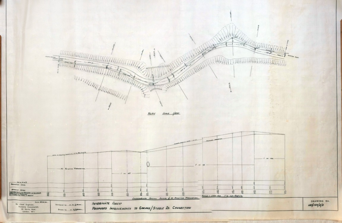
Inverinate Forest – Stable Road improvement
One of a series of maps and drawings found in old ex military map cases stored in the loft of the Fort August Forest office and recovered by Grant Macintosh.
A road engineering survey and profile drawing of the Stable Road forest road junction following a realignment of the public road at Inverinate Forest. The drawing is by Mike Johnson dated Aug 1966 appears to be an extension of the one shown in the previous Record.
Note sure of the location at Inverinate Forest but perhaps someone can help?
Comments
Form Goes Here