 Pic 3015: Part of Rosarie Forest as at 1968
 Pic 3016: Part of Rosarie Forest as at 1968
 Pic 3021: Glenlivet Forest — Map 3 Tomintoul area
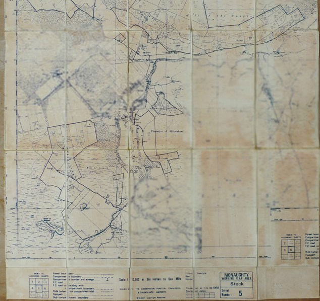 Pic 3029: Monaughty Forest — Hill of the Wangie
 Pic 3030: Monaughty Forest — Newtyle and Romach
 Pic 3043: Culbin Forest — Western and Southern section
 Pic 3047: Culbin Forest Stock Map No 2
 Pic 3064: Forwarder extraction of pulpwood
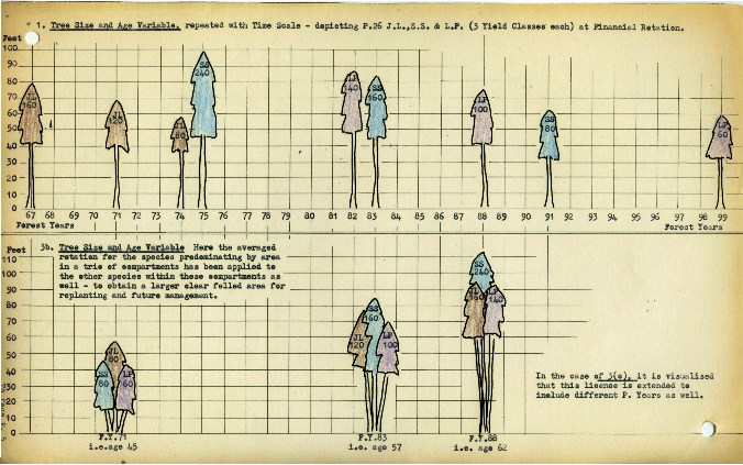 Pic 3186: Forest data and accounting system proposal
 Pic 3187: Forest data and accounting system proposal
 Pic 3189: Forest data and accounting system proposal
 Pic 3190: Forest data and accounting system proposal
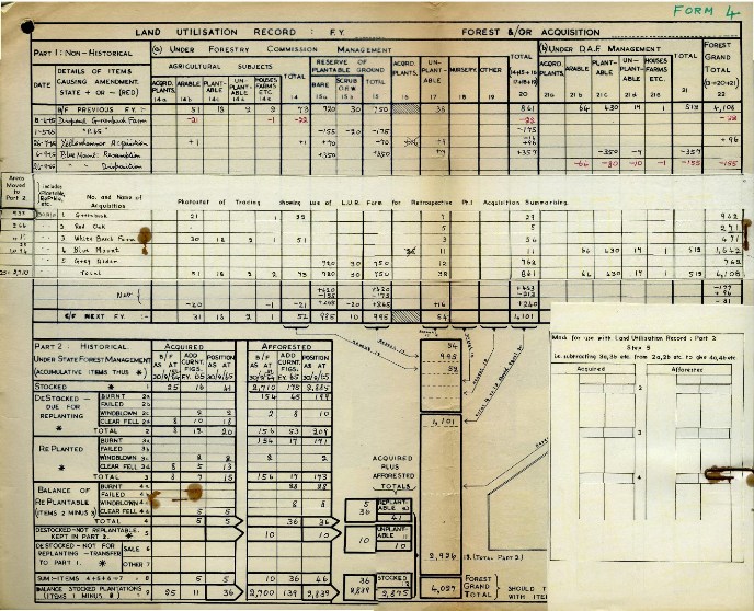 Pic 3191: Forest data and accounting system proposal
 Pic 3268: Jonsered Saw and equipment
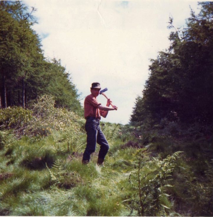 Pic 3469: Lour Estate, Forfar 1968
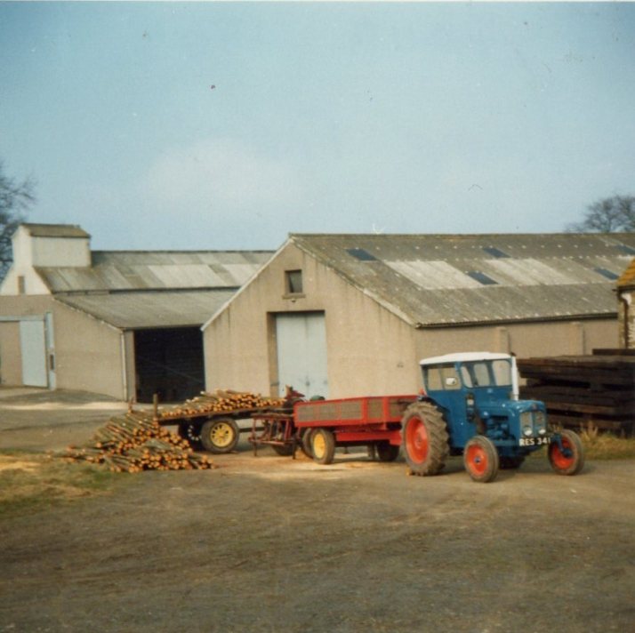 Pic 3558: Lour Estate 1968
 Pic 3624: Priestman Lion at work
 Pic 3625: Road making in Ferness Forest
 Pic 3626: Road making in Ferness Forest
 Pic 3627: Road making in Ferness Forest
 Pic 3628: Dozer and Roller at Ferness Forest
 Pic 3655: Mike Service and Leslie Phillip
 Pic 3884: Crychan Major Winch in Margam Forest
 Pic 3994: Bogged County Tractor site, Caithness