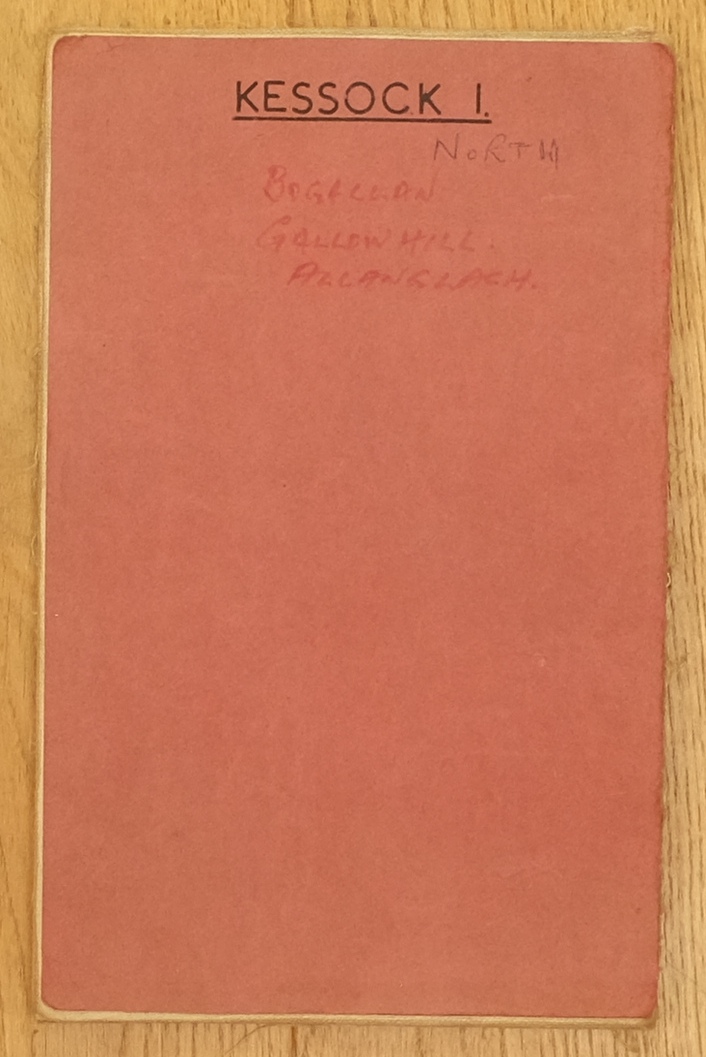
Kessock Forest resurvey map 1
Maps are courtesy of Inverness, Ross and Skye Forest District and show the forest area originally part of Kessock Forest and then all amalgamated into Culloden Forest District. See large image for actual map.
Kessock Forest map 1 shows the eastern part of the forest with compartments numbered from 1 up to 43 (out of sequence as many of the numbers are in the next map) and planted from 1930 to 1961, the latter may have been replanting following clearfell. The year of resurvey and this map is estimated at around 1966. Local names of forest areas written on the map cover are Bogallan, Gallowhill and Allanglach.
Download Large Version (2.7MB)
Groups: Maps of Forest and Woodland Areas
Group: Forestry Areas - 3245 pictures
Comments
Form Goes Here