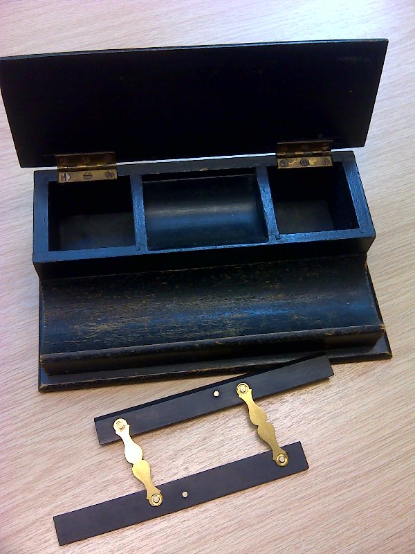
Desk tidy and Parallel rule
Images courtesy of John Allison, Aberdeenshire and Moray Forest District.
Surveying of fence lines, roads, compartment boundaries and were usually carried out at the local forests by the foresters who plotted the results on to their maps of the forest boundaries provided at time of acquisition by the Divisional/Conservancy office drawing departments. The plots of the newly planted areas etc surveyed by the forester would be sent annually on tracing paper or blue linen drawing material into the Conservancy offices where the drawing departments updated a master map. The universal scale was 6 inches to the mile.
This photograph shows a typical desk tidy from the 60s or earlier for pens, India tags and paper clips but was often used for holding map drawing materials such as a variety of pens, nibs and coloured inks. The little parallel rule shown below was very handy on unlined blue linen paper for transferring magnetic north lines sideways when using semicircular protractors to plot survey bearings.
Groups: Tools, equipment and clothing