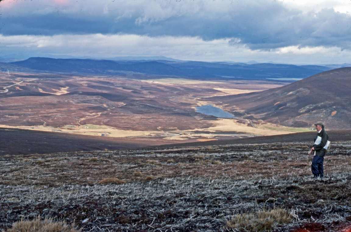
Strathrory pre-planting or acquisition survey – Ardross Forest
The photograph was taken by the late Finlay MacRae who was a District Officer in the Forestry Commission based in Dingwall at the time. The images are courtesy of his daughter Donna.
The view is of the Strathrory area before or following a large land acquisition in that area much of which now forms a large forest. The view is looking northwards to the glint of water from the Kyle of Sutherland and Dornoch Firth in the distance. The Struie public road is on the left hand site next to the pylon line built to carry electricity from Dounreay. Down in the hollow below runs the Strathrory River and a litte futher on, Loch Sheilah. This whole area was planted over a series of years much being single furrow tine ploughed by local tractor driver Ian Sprunt.
Can the person with the maps be named? Please large image link below.
Donnie Laird - See Comments below
Download Large Version (602kB)
Groups: Forestry Areas, Forestry in Action