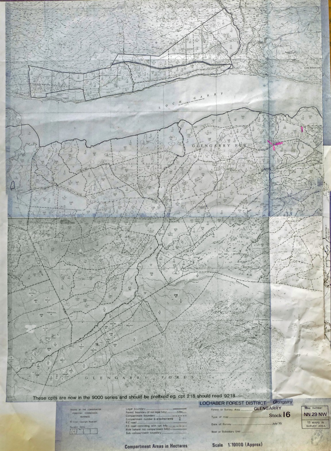
Part of Glengarry Forest - 1973 Forest survey – last updated 1984
The map was recovered from shed at Newton Nursery which acted as a storage area for Forest Research who used the maps to locate forest and tree experiments in the field.
Much of the land in Glengarry forest was purchased from Glengarry Estate over a series of years from 1921 to 1975. An internet search throws up an interesting back story of the Ellice family origins who at one time owned all the land from Glenquoich to Glengarry. It seems that Glenquoich was initially purchased by Edward ‘Bear’ Ellice who at one point was a director of the Hudson Bay Company and later a prominent politician in the UK parliament. His son also Edward added to the Glenquoich area by purchasing Glengarry Estate.
The first land transaction to the Forestry Commission took place in 1921 when the South Laggan Forest area of around 1500ha was acquired. That forest map has not been located however.
This forest map most likely depicts the early acquisition of land from Glengarry estate in 1927 when over 8000ha was acquired by the Forestry Commission. The area south of Loch Garry was planted in the late 1930s and 1940s in a narrow band above the loch. It appears that a large area southwards and up the hill was fenced off and tree planting extended into the 1960s and 1970s with Lodgepole pines featuring more commonly.
Please note the large map link below this text to see the detail more clearly. Two adjacent maps have now been joined to show the forest area from Loch Garry to head of Loch Oich (Includes the map shown in Image No 5779).
More information and detail of staff would be very welcome.
Groups: Maps of Forest and Woodland Areas