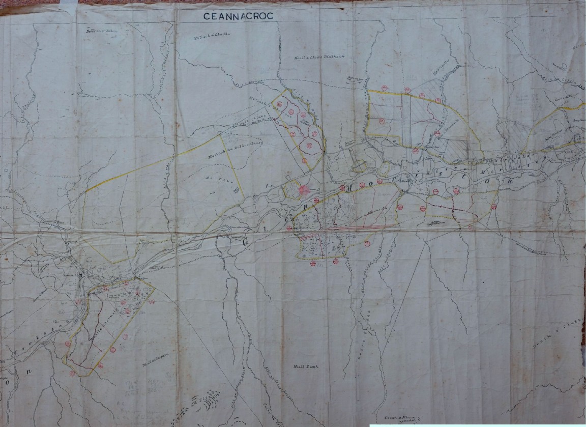
Ceannacroc Forest Planting Map – working copy
One of a series of maps and drawings found in old ex military map cases stored in the loft of the Fort August Forest office and recovered by Grant Macintosh.
The year is uncertain but estimated as 1956 but could be out by a few years. A very nice hand drawn map of most of the forest areas in Cennacroc Forest in Glen Moriston on the side of Loch Ness. Some of the compartments look as though some are in the process of being set out and measured. Note some pencil lines and angle sight lines to prominent features to confirm positions of corner features in fence lines. No bearings are given and forester may have been using artillery director to set up the angles and most likely the steel chain for measurement. The planting year which is show is 1952 (P53) with some notes on P52. Other notes indicate area measurements and distances in chains. All in all a good example of a forester’s working map as planting progressed across the all the acquired areas.
See large image for detail.
Any stories from people who worked here would be very welcome.