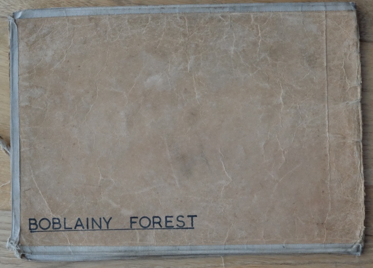
Boblainy Forest map and R1s
Photograph is courtesy of Inverness, Ross and Skye Forest District and staff at their Fort Augustus office.
This well drawn map (See Large Image) clearly shows the compartment numbers from 1 – 95 and the planting years 1951 – 1958 containing a high proportion of Scots and Lodgepole pines with the usual areas of larch and spruce.
The R1 planting record for the forest begins in 1951 with almost 500 thousand young trees and 251 acres planted. Note that the Douglas fir was transported in from as far afield as Kirroughtree (South Scotland), Minnard and Strathyne (West Scotland).
The cover of the R1 shows that Reelig (Craig Phadrig) and Battan Forests were amalgamated in 1956 and then Boblainy was added in 196, the whole area then may have gone under the name of Boblainy. Can anyone confirm?
The names of any foresters and forest workers who worked in the forest would be very welcome.