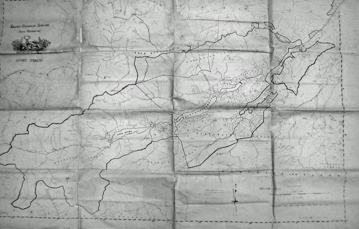
Hand drawn map of Glen Affric
Photograph by Sandy Roberson, St John’s, Canada of his map of Glen Affric that he drew by hand when he helped out with some surveying in between other regular forestry worker jobs for the Forestry Commission. He was staying in the Cannich bothy at the time.
The map shows some heavy internal lines which could signify several different acquisitions by the Forestry Commission. The forestry planting compartments can just be seen right of centre. Note that Sandy has added his own style of logo on top left corner.
The PDF contains views of Sandy holding his map and also some of vegetation survey maps for Affric which he is also holding.
Comments
Form Goes Here