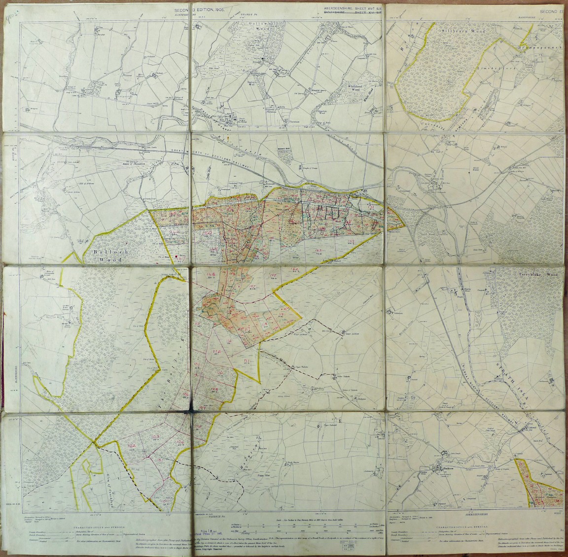
Balloch Forest part of Bin Forest 1932-1946
Map is courtesy of Moray and Aberdeenshire Forest District.
The early information on Balloch Forest which was administered by the Bin Forest staff is sketchy. This map indicates the early planting in P32 and 33 was on the west of the first acquisition with some at high elevation suggesting trial plots. The order of subsequent plantings are difficult to make out and seem a bit irregular but the latest year appears to be 1945.
Note that additional acquisitions of land have been marked on the map and include Balloch Forest land towards Coachford and another area called Sillyearn Wood.
Download Large Version (3.4MB)
Groups: Maps of Forest and Woodland Areas, Northeast Scotland
Comments
Form Goes Here